fAPAR enhances use of ICOS data for remote sensing
Below-canopy photosynthetically active radiation (PAR) sensors used to calculate fraction of absorbed photosynthetically active radiation (fAPAR) have been installed at ICOS Ecosystem sites in Belgium, France, Italy and Sweden. Conducted as part of the Horizon Europe project NUBICOS, fAPAR is an important parameter for understanding ecosystem functionality, and is a key variable for remote sensing activities.
This installation work pilot is coordinated by Work Package 1 of the Horizon Europe project NUBICOS, whose aim is to improve data quality for and utilisation of data by the remote sensing community.
Due to its direct link with foliar vegetation, fAPAR is widely used for estimating Leaf Area Index (LAI) and Gross Primary Production (GPP) and for calibrating and validating (cal/val) satellite measurements.
“fAPAR measures how much light is being absorbed by vegetation for photosynthesis,” says Marie Weiss, Research Engineer at INRAE who works on Work Package 1 activities within NUBICOS. “fAPAR is measured by placing PAR sensors at a site - at least one measuring the incident radiation above the canopy and one measuring the radiation reaching the soil below the canopy.”
“This makes it a valuable indicator of vegetation health and productivity,” Marie Weiss continues. “fAPAR has many applications related to climate change (e.g. carbon and water cycle), agriculture (crop growth), or detecting stress and disturbances.”
Beyond these uses, fAPAR is recognised by the Global Climate Observing System (GCOS) as an Essential Climate Variable, a list of important parameters for describing the Earth’s changing climate. As such, fAPAR – alongside Land-Surface Temperature (LST), another parameter analysed in NUBICOS – is a key parameter used for cal/val purposes.
By incorporating fAPAR and LST measurements into wider ICOS Ecosystem measurements, ICOS data can be even more readily used by the remote sensing community – a core objective of NUBICOS.
According to Marie Weiss “the idea is to use the ICOS data for satellite cal/val activities and thus be the most consistent as possible with the Committee on Earth Observation Systems (CEOS) Land Product Validation (LPV) requirements.”
A pilot scheme for varied forest types
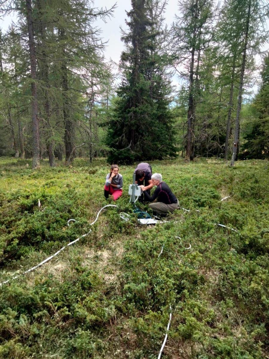
This fAPAR pilot in NUBICOS takes a close look at below-canopy dynamics, which are highly heterogeneous.
“To make sense of the natural variability we observe below the forest canopy, we need to spread several below-canopy sensors around,” says Simone Sabbatini, a researcher at Euro-Mediterranean Center on Climate Change (CMCC) and the ICOS Ecosystem Thematic Centre.
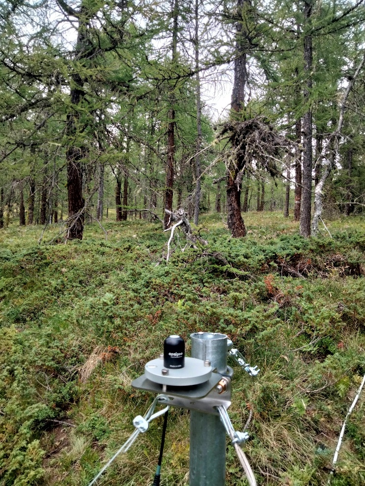
At present, only above-canopy (upward-facing) PAR is a standard variable at ICOS Ecosystem stations. Optionally, forest stations can measure below-canopy (upward-facing only) following a dedicated protocol from ICOS ETC. From there, fAPAR can be estimated, from which it is possible to estimate LAI.
“The standard ICOS scheme is to have 5 sensors in 2 to 4 plots (depending on the station class), for a total of 10 to 20 sensors, in addition to the above-canopy one.”
This scheme has been adopted by 12 ICOS forest stations so far, 7 of which have been selected as part of the NUBICOS pilot for the determination of fAPAR and estimation of LAI.
Additionally, a subset of three ICOS forest stations have been selected for adding the below-canopy PAR scheme recommended by Copernicus’s cal/val service (Ground-based Observations for Validation, GBOV).
These additional installations add the downward-facing, reflective element required for satellite cal/val.
“The three sites are all forests with different species and canopy characteristics,” says Simone Sabbatini. “Brasschaat (Belgium) is a sparse Scots Pine forest, Fontainebleau-Barbeau (France) is a deciduous oak forest, while Hyltemossa (Sweden) is a dense mixed evergreen needleleaf forest.”
More stations may be added in the future, and there is ambition to extend the analysis to short canopies such as croplands.
According to Simone Sabbatini, fAPAR data will be made available in two forms. “The raw measurements (below canopy PAR) will be treated as any other meteorological ICOS measurement and made available in the Carbon Portal.”
“After the analysis is finished and the optimal setup defined, a protocol will be published, and the data will enter the normal ICOS pipeline. In situ fAPAR will be added to the portfolio of ICOS half-hourly products.”
From a hemispherical camera to automated sensors
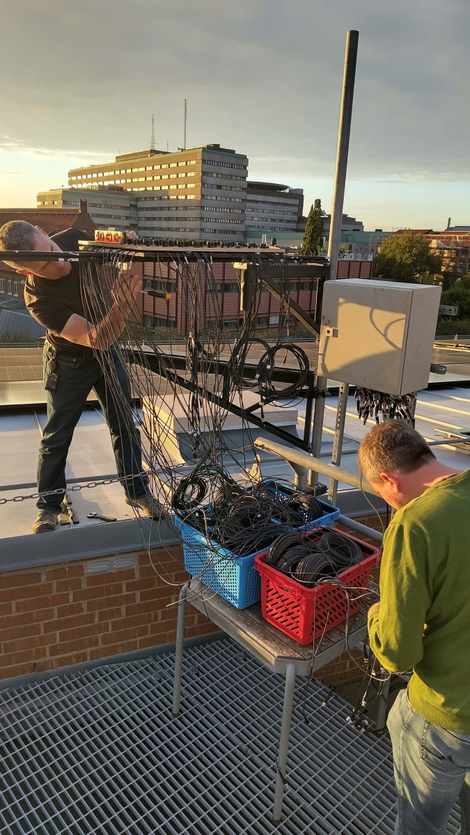
At the Hyltemossa station in Sweden, fAPAR sensors have been in use for several years. As part of the the NUBICOS pilot, extra sensors will be added to one of the plots to expand the standard ICOS setup.
“Previously, we measured GAI (green area index) by taking upward looking subcanopy photos with a hemispherical camera,” explains Tobias Biermann, a researcher working at ICOS Ecosystem station Hyltemossa. Several factors – such as weather, cloud cover and lighting requirements - make this a tricky and laborious task.
“A few years ago, we switched to subcanopy fAPAR sensors,” he continues. “We have an upward and downward-facing set installed above canopy at the main eddy covariance tower and 5 upward looking sensors within each of the 4 continuous measurement plots at Hyltemossa. Besides providing fAPAR measurements this setup also enables us to estimate GAI more automated and continuously.”
Automated measurements below-canopy PAR measurements also have the major advantage of providing a continuous time series, including the time pass of the satellite over the area.
One of main fAPAR activities happening as part of NUBICOS is a comparison between ICOS and Copernicus Land standards of measuring fAPAR.
“When the installations are complete, we will have installed 35 additional fAPAR sensors to one of the continuous measurement plots at Hyltemossa, including subcanopy downward looking sensors,” says Tobias Biermann. “Ultimately, we will be able to compare the ICOS setup to what Copernicus is using in GBOV."
“GBOV has an in situ network of stations for cal/val purposes. In GBOV, one plot contains 40 sensors. GBOV already uses ICOS data for Land Product Validation (LAI estimation derived from upward facing above canopy from hemispherical photos).”
“In NUBICOS, we want to see how well the ICOS network performs – can we provide data to the GBOV network by complementing the existing ICOS Ecosystem network by adding downward facing fAPAR sensors which follow GBOV recommendations?”
Measurements from the only ICOS Ecosystem station in a larch forest
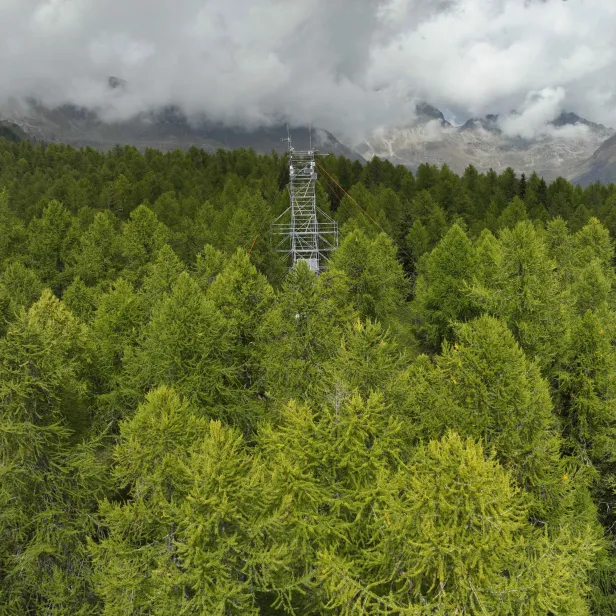
Moving from Sweden to Italy, below-canopy PAR sensors (which belong to the existing ICOS PAR setup) were recently installed at the Torgnon larch forest station in Italy. This was completed alongside wider upgrades to the eddy covariance system. Taken altogether, this constitutes a significant effort from an Associated station.
“The Torgnon site is the only ICOS Ecosystem station located in a European larch (Larix decidua Mill.) dominated forest,” says Marta Galvagno, Principal Investigator of the ICOS Ecosystem station Torgnon larch forest (IT-TrF).
The site’s rather unique characteristics combine to make it a solid pilot site for fAPAR measurements.
“The larch is unique as it is the only deciduous conifer, characterised by high photosynthetic rates due to the short growing season available,” Marta continues. “The species exhibits strong resistance to environmental disturbances, reflecting high ecological resilience in alpine conditions.”
“This makes the Torgnon site particularly interesting to be equipped with these additional instruments.”
Given its mountainous location, the environment of the station provides suitable conditions for measuring fAPAR. “The Torgnon Forest is situated on a south-facing, sunny, and relatively dry site, with low weather disturbances,” explains Marta.
“It experiences the typical cloud patterns of a mountain environment: skies are generally clearer in summer, occasionally interrupted by cumulonimbus clouds, while in winter, low clouds and snowfall occur, at a time when the larch forest is already defoliated.”
New parameters in NUBICOS link ICOS closer to the remote sensing community
Alongside the recent Land-Surface Temperature installations at ICOS Ecosystem sites, fAPAR work in NUBICOS enhances the usability and interoperability of ICOS data for the remote sensing community.
“Satellites are providing global LST and fAPAR maps,” explains Marie Weiss. “It is essential to evaluate their quality against ground measurements. These ground measurements must be well distributed in space to represent the different ecosystems and environmental conditions (climate, soil).”
“It is also important to validate the seasonal behaviour of these satellite products through the years. ICOS sites could therefore highly contribute to satellite product validation, provided that the measurements and protocols are adapted for such a task.”