New Ecosystem parameter installations for improved satellite data
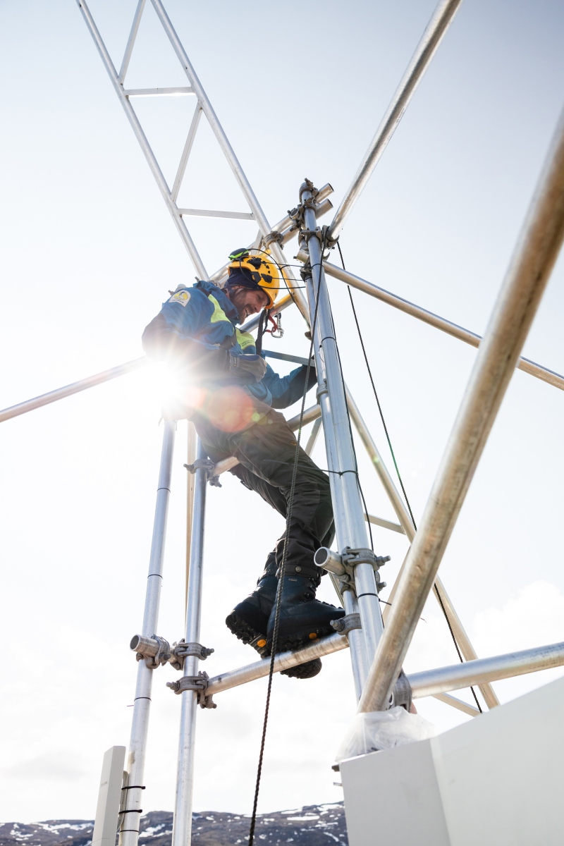
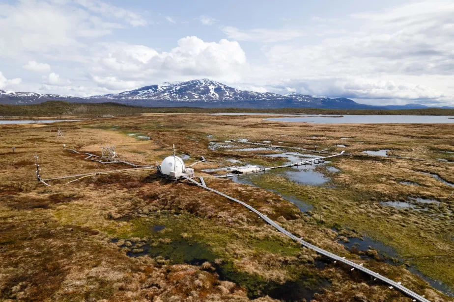
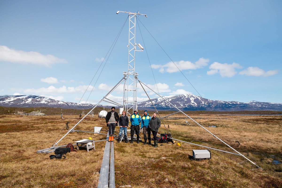
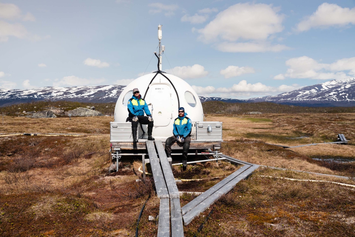
Between 10th-12th June 2025 an installation team from the University of Leicester and the Swedish Polar Research Secretariat travelled to ICOS Ecosystem station Abisko-Stordalen Palsa Bog to install instruments for measuring new ICOS Ecosystem parameters.
Conducted as part of Work Package 1 of the Horizon Europe project NUBICOS, Land-Surface Temperature (LST) instruments were successfully installed at the site. “Land-Surface Temperature is a measure of how hot or cold the surface of the Earth would feel to the touch,” says Darren Ghent, National Centre for Earth Observation (NCEO) Leader and Research Fellow for Land Surface Temperature at the University of Leicester and responsible for Land-Surface Temperature efforts in Work Package 1 of NUBICOS. This Work Package aims to strengthen ICOS’s connection to the remote sensing community.
"When derived from radiometric measurements of ground-based, airborne, and spaceborne remote sensing instruments, Land-Surface Temperature is the aggregated radiometric surface temperature of the ensemble of components within the sensor field of view.”
Land-Surface Temperature is an essential climate variable (ECV), which are important parameters for describing the Earth’s changing climate.
From an observational perspective, Land-Surface Temperature is an important measurement for calibration and validation (cal/val) for satellite observations.
How measuring Land-Surface Temperature benefits satellite calibration and validation
What makes Land-Surface Temperature an essential climate variable?
“From an ecological/biogeochemical perspective, it is interesting to understand what controls the exchange of carbon dioxide and methane,” says Erik Lundin, Research Engineer and station Principal Investigator (PI) of ICOS Abisko-Stordalen at the Swedish Polar Research Secretariat. “Seasonal dynamics of surface temperature is an important control.”
“From a climate perspective, Land-Surface Temperature is important for evaluating land surface and land-atmosphere exchange processes, constraining surface energy budgets and model parameters,” according to Darren.
For the remote sensing community, high-quality measurements of Land-Surface Temperature from ICOS sites feed into satellite calibration and validation.
“To ensure data quality in satellite products validation is a critical part in the development cycle,” Darren explains. “As such, validation sites are important components for end-to-end satellite missions. To reduce the uncertainties in upscaling in situ measurements at a single point to area-averaged satellite measurements representative sites are required such as here at Abisko.”
Abisko-Stordalen Palsa Bog was chosen as one of the sites for Land-Surface Temperature installations for several reasons.
According to Darren “the land cover of the site was one that had not been validated before for Land-Surface Temperature so represented a unique opportunity.”
“There was also the added benefit of the site being on the boundary between two surface types (wet grassland and frozen palsa) which presented the opportunity to validate satellite observations of both.”
In addition to benefitting the satellite community, Land-Surface Temperature can benefit the already-existing flux measurements. According to Erik “these data will also be used by local projects trying to explain what happens in the peatland eddy covariance footprint.”
The Abisko-Stordalen installation complements installations at: Brasschaat (Belgium), CongoFlux (DRC), Lonzee (Belgium) and Laqueuille (France).
NUBICOS ties ICOS closer to the remote sensing community
In addition to Land-Surface Temperature, instruments which measure fraction of absorbed PAR (fAPAR) are being installed at a subset of ICOS Ecosystem stations. fAPAR is also an essential climate variable which is important to estimate photosynthesis of ecosystems.
“Ultimately, installations of Land-Surface Temperature and fAPAR within NUBICOS improve the usability and interoperability of ICOS in situ data for the remote sensing community,” explains Bert Gielen from the ICOS Ecosystem Thematic Centre who is leading the Work Package in NUBICOS.
“With more than 100 station across Europe, the ICOS Ecosystem network can serve as a reference in situ network for calibration and validation of remote sensing products as it is fully operational and completely standardised,” says Bert
“Land-Surface Temperature and fAPAR are two essential climate variables of great importance for Earth Observation, but they had not been measured within ICOS previously,” outlines Darren. “These also represent key products derived from Copernicus Sentinel missions, so to validate them raises the profile of ICOS in Earth Observation fields.”
As for which new users could benefit from this data, Darren offers some suggestions: “First and foremost, the European Space Agency (ESA) and Copernicus would benefit, but also climate modelling communities who use these data from Earth Observation - the increased validation of these products strengthens their trusted status as essential climate variables.”
- See the full gallery from the Abisko-Stordalen installation here (all photos by Pekka Pelkonen): https://www.flickr.com/photos/icos_ri/albums/72177720327575727/