How ICOS research infrastructure can be used to validate satellite-based data products
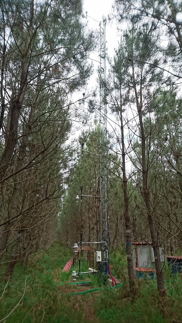
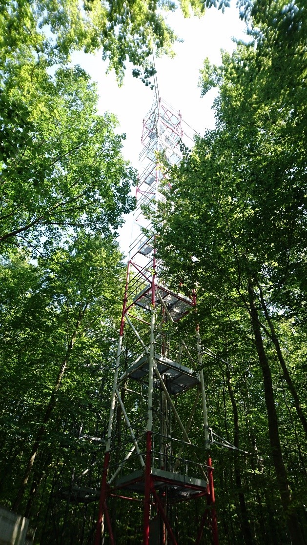
Earlier this year a scientific study using data collected at ICOS Ecosystem stations was published at Biogeosciences, a scientific journal of the European Geosciences Union. While the main focus of the study was on forest floor vegetation, the researchers also showed that ICOS forest ecosystem sites can serve as network for validation of pixel resolution Earth observation products. This study shows that the usefulness of ICOS research infrastructure goes beyond its designated tasks of measuring carbon exchange and greenhouse gases in the environment.
Using ICOS forest ecosystem sites to validate estimations from remote sensing satellites
“The ICOS RI provided an excellent tool for truly comprehensive and efficient validation exercise thanks to the wide variety of forests types represented in the network,” says Jan Pisek, an associate professor with University of Tartu, Tartu Observatory in Estonia.
The aim of the study published by Pisek and colleagues was to combine past efforts of tracking forest floor (understory) reflectance and its dynamics with multi-angle satellite-based remote sensing. The approach, originally developed over the Canadian boreal forests within the research group of prof. Jing Ming Chen at the University of Toronto, was validated against in situ understory reflectance measurements over an extended set of ICOS forest ecosystem sites.
“I believe that our study demonstrates how ICOS RI can be effectively used for the validation of new satellite-based data products,” says Pisek. The ICOS RI is included among the Land Product Validation Supersites under the Committee on Earth Observation Satellites (CEOS) Working Group on Calibration and Validation (WGCV) Land Product Validation (LPV) subgroup.
The main findings show that the novel modelling method can deliver good results, especially over different forest types with open canopies. The performance of the method was found limited over forests with closed canopies (high foliage cover), where the signal from understory gets hidden. This actually makes sense – the modelling algorithm relies on the condition that at least a small part of the forest floor is seen from different directions through the overstory canopy. If the tree cover is dense and the forest floor cannot be seen from above, the algorithm cannot provide the correct, independent estimation of the understory signal. “I would be actually really concerned if we were still retrieving ‘correct’ understory signal under these conditions of too dense tree cover. The fact that the algorithm indeed fails when it is supposed to fail, helps me to have more confidence in its performance,” adds Pisek.
For the first time, the study also provides comprehensive spatial representativeness assessment of the included ICOS sites across different spatial scales. “We were happy to see that most of the included ICOS forest ecosystem sites are indeed representative and suitable for validation of Earth observation products across different scales,” adds Pisek. Identifying ways how to properly scale and compare the in situ ground-based measurements with satellite measurements is one of the objectives of the SENSECO project, in which Pisek participates.
Forest floor vegetation often excluded from carbon models
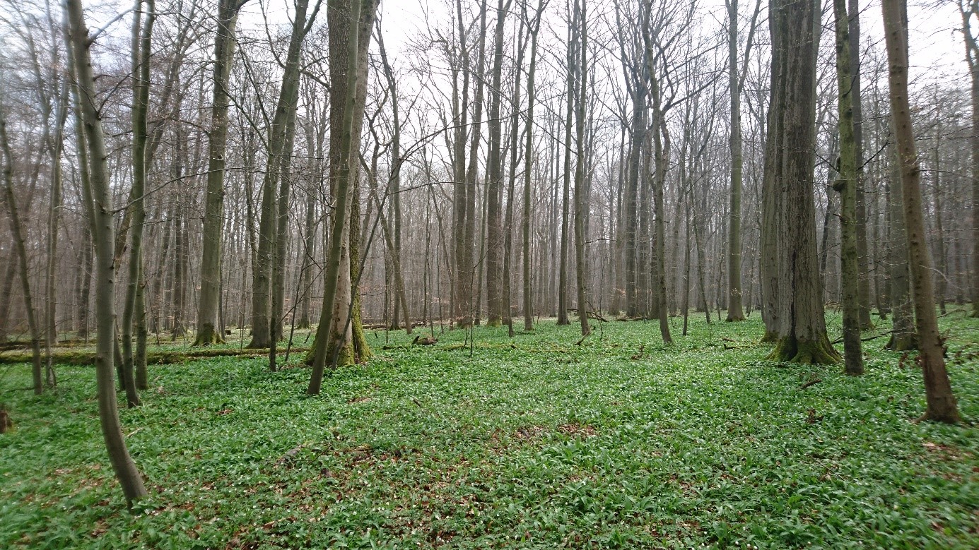
The plants growing on the forest floor are one of the most diverse and least understood components of forests worldwide. These plant communities are especially important because they assist in the cycling of nutrients and can influence what happens to the trees and the canopy above. Measuring the appearance of the forest floor, or its reflectance, over time and different locations is important to accurately estimate the parameters of forest canopy, and therefore for ecosystem modelling. However, this reflectance data from different types of forests is currently missing.
Currently, carbon models often treat the forest floor vegetation as an unknown due to the difficulties in measuring it properly and consistently on a larger scale. Remote sensing could be the technology to provide consistent data in this area. Multi-angle remote sensing can capture signals of different forest layers because the observed proportions vary with the viewing angle, making it possible to separate the signals from forest canopy and forest floor.
Jan Pisek acknowledges support by the Eesti Teadusagentuur (grant nos. PUT1355 and Mobilitas Pluss MOBERC11).